The Scenic Viewpoint Is Not the Whole Coast
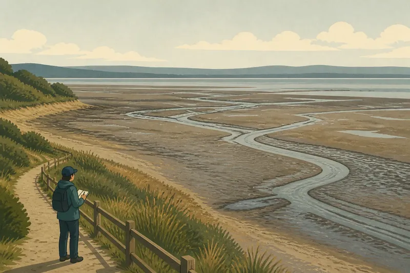
A coastal viewpoint shows one useful slice, not the whole shore; compare overlooks, shore-level paths, and working edges to choose a fuller view.
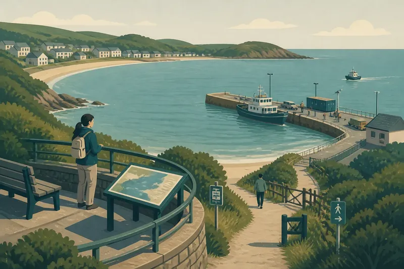
The common mistake with a scenic viewpoint is treating its frame as the coast’s main attraction and everything beyond it as background. That choice can make public access, waterfront work, and neighborhood routes disappear from the story. A lookout is useful, but its strongest role may be helping you orient yourself before you notice how the shoreline serves people.
From a high point, a bay’s shape or a headland’s sheltering effect can become clear. At street level, a marked entrance or a closed gate may matter more. Beside a public harbor edge, boat arrivals and shared space take precedence over the view. These are not competing pictures of the same scene; they show how a coastal place is organized and used.
Scenic viewpoint and public use
A scenic viewpoint organizes attention around a frame: water in the foreground, a headland on the horizon, perhaps a sign naming the bay. It can help visitors understand the broad geography before they set out. Benches, railings, and a clear sightline can also make the coast accessible to someone who cannot comfortably use an uneven beach route.
But a view can hide the practical details that shape a visit. A beach entrance may be screened by vegetation; a boat ramp may look like a small mark; a path may end at a fence. The overlook tells you where features sit in the landscape, not necessarily who can reach them or what happens there.
That distinction matters for civic life. A scenic platform may be public, while the route to the water is limited, interrupted, or designed for a different use. The question is not whether a viewpoint is good or bad. It is what it makes easy to notice, and what its framing leaves out.
Paths and access points
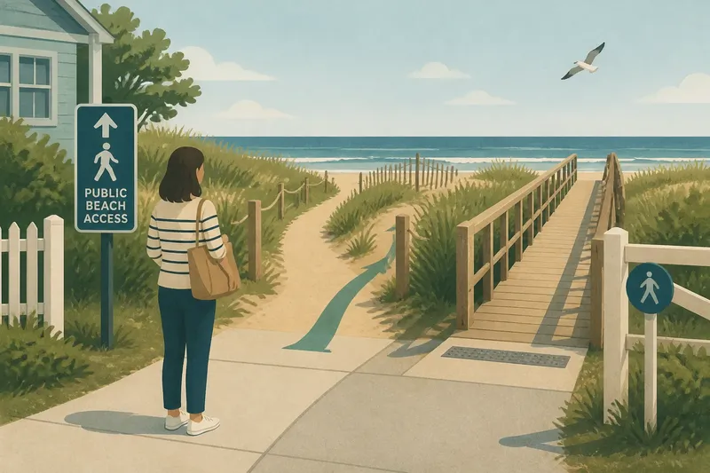
A public path brings the shoreline into walking distance. A seawall can conceal the beach until stairs open a way down; a pocket of sand may appear between rocks; a path may connect a neighborhood street with a pier. These small transitions reveal how access works on the ground rather than how it appears on a map.
Look for signs, gates, stairs, ramps, and places where a route changes direction or stops. A visible entrance does not by itself tell you whether the route is suitable for your needs, so use posted information and observe the actual surface. If a path is steep, sandy, crowded, or closed, a marked overlook or an accessible public route elsewhere may be the more appropriate way to experience the coast.
Paths also have limits as a way of understanding a place. One route may cover only a short stretch, leaving the wider geography out of view. A map at a park entrance or an interpretive sign can help connect the local details to the larger shoreline.
Working waterfronts
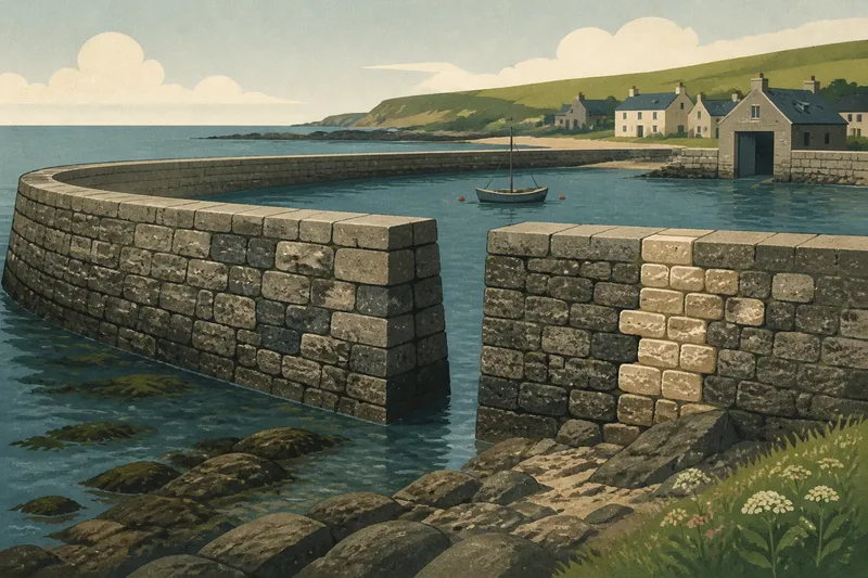
A public pier, ferry landing, harbor edge, or designated area beside a boat launch can show how people depend on the water for work, travel, or recreation. The scene is shaped by practical needs: passengers need room to board, boat operators need space to maneuver, and visitors need to stay clear of equipment and restricted areas.
At a working waterfront, public access and operational boundaries may sit close together. Follow posted rules, stay in areas open to visitors, and do not enter a restricted space to improve a view. Observing from a designated public edge can offer context without treating work as a performance or implying permission to approach.
Choosing a coastal view?
Which coastal view should I choose first?
Choose a scenic viewpoint when you need to understand the broad shape of a bay or headland. Choose a public path when your main question is how people reach and move along the shore.
Can a viewpoint show whether a beach is accessible?
A viewpoint may reveal an entrance or barrier, but distance can make the route’s condition difficult to judge. Check posted information and observe the route itself before deciding whether it suits your needs.
Why observe a working waterfront?
A public harbor edge can show how travel, work, and recreation share the shoreline. It also makes clear why some spaces must remain open for operations rather than visitor access.
A route through the bay
Imagine a visitor arriving at a town’s bay overlook, where a sign identifies a crescent of water behind a low headland. The visitor checks a park map, follows a signed public path, and finds that the beach entrance is separated from the harbor by a fence and a working pier. From the public side of the pier, the visitor sees boats arriving and a narrow passage leading toward the open bay.
The resulting answer is specific: the overlook explains the bay’s shape, the path shows where beach access opens, and the harbor edge shows how public space meets active waterfront use. The visitor has not seen every part of the coast, but can describe how these places connect without assuming that the scenic frame represents them all.
Reading the shoreline
Before choosing where to stand, decide what you want to understand. For geography, start with an overlook. For entrances, surfaces, and connections to nearby streets, use a public route. For local activity, observe from a designated public edge and follow its posted rules.
If a route does not suit your needs, do not force the comparison. A marked overlook, an accessible public space, or a local map may answer a different question without requiring a difficult approach. The useful habit is to name the position behind an observation: “From the bluff, the bay curves behind the point” describes what is visible without claiming to speak for the whole shoreline.